Paper China
Oct 2026 · Interactive maps
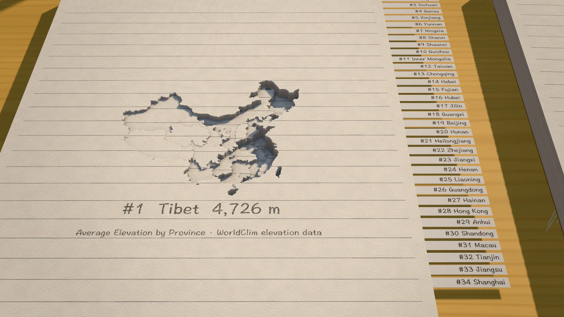
A school exercise book with China cut into it, one province a page: they turn in the order of their average elevation, so Tibet lies deepest. Count down by population instead, switch to the U.S. book, cut a section, or change the paper.
Client: Personal. Tools: Svelte, Three.js, GLSL, D3.
Open project