City Atlas
Sep 2026 · Interactive maps
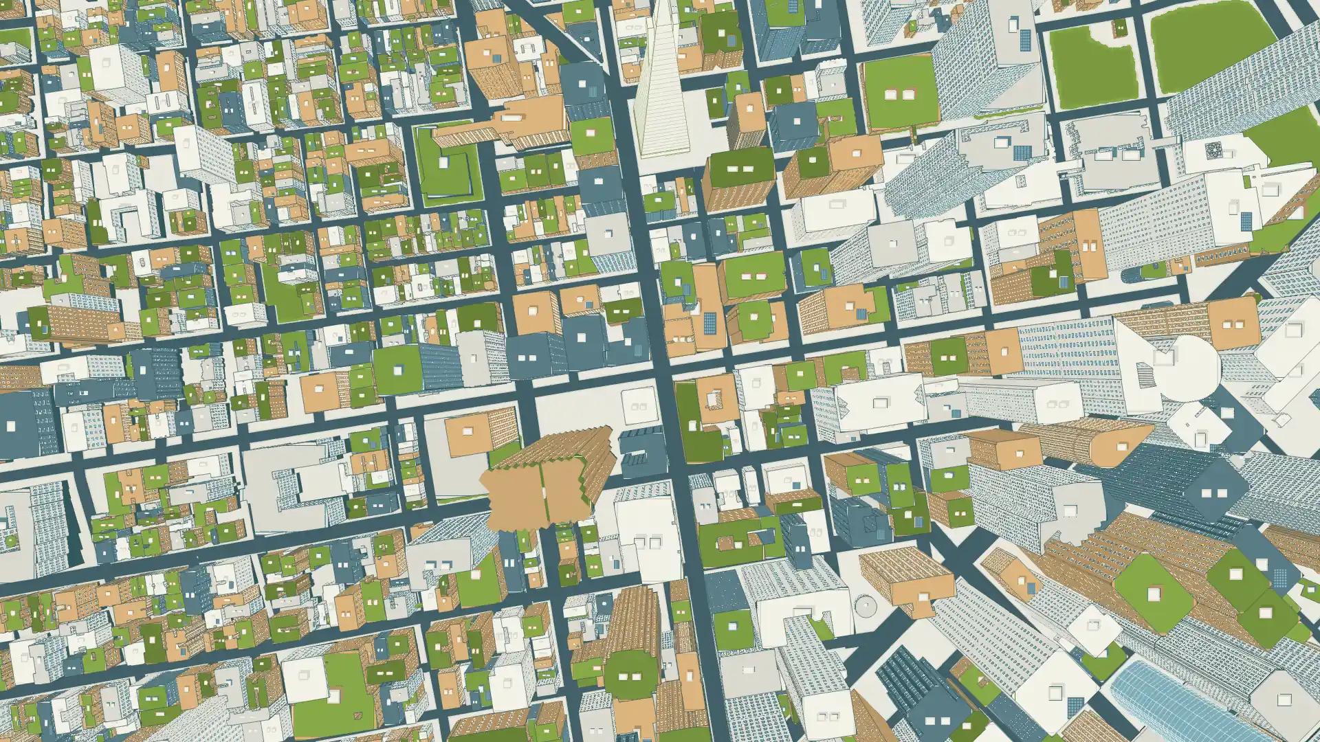
San Francisco drawn as an illustrated 3D city from open data on its buildings, streets, shoreline and terrain. Pan and zoom, jump between neighborhoods, or curl a district into a small planet.
Client: Personal. Tools: Three.js, React.js, GLSL, GSAP.
Open project