China Elevation
Oct 2020 · Interactive maps
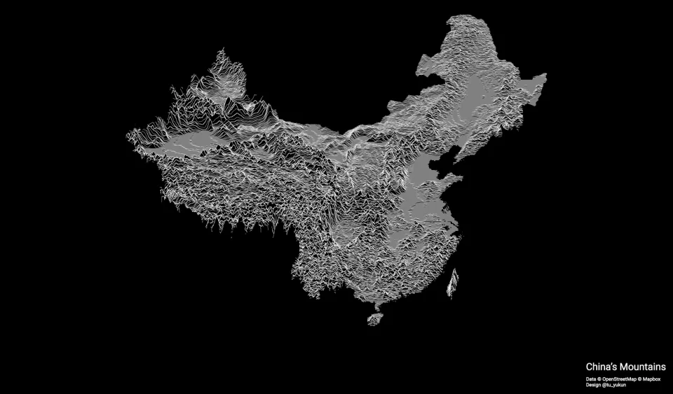
China's terrain drawn as stacked ridgelines, white on black. The ranges and plateaus rise in dense, jagged lines, while the basins and eastern plains lie flat and gray.
Client: Personal. Tools: QGIS, Adobe Illustrator.